

A nationwide initiative by the Southwest Ecological Restoration Institutes (SWERI)
Reshaping Wildfire & Fuel Treatment Data
Access the Treatment and Wildfire Interagency Geodatabase (TWIG)
TWIG is an open-access tool connecting fuel treatment and wildfire information that historically lived in silos across land management agencies. Designed for everyone, with no login or accounts required, TWIG makes data accessible to foster cross-boundary collaboration among partners.
The TWIG Viewer and Geodatabase
TWIG (The Treatment and Wildfire Interagency Geodatabase), comprised of both a geodatabase and viewer, allows users to
- Explore and search fuel treatments and wildfires nationwide
- Visualize and access cross-boundary data in one place
- Generate maps, reports, and summary statistics for specific areas
- Upload data layers for customized and collaborative viewing
- Download data instantly for research and planning
Seamless Data Exploration in Three Steps
By turning national data into action, SWERI uses data-driven solutions to protect our communities and ensure effective forest management against the threat of catastrophic wildfires.

1. Launch Viewer
Use TWIG to map, query, and evaluate how treatments and wildfires interact across landscapes.

2. Explore Maps & Data
Filter and query fuel treatments and wildfires nationwide by funding source, category, dates, area, and more.

3. Download or Share Results
Access reports and summary statistics for specific areas and download data directly from the viewer or as a whole geodatabase.
Advancing Wildfire Resilience Through Research
SWERI applies a multidisciplinary approach to answer critical questions about fuel treatment effects. By integrating ecological, social science, data science, and economic research, we continuously advance TWIG to meet end-user needs and provide actionable knowledge for evidence-based forest management.
About the ReSHAPE Program
The Southwest Ecological Restoration Institutes (SWERI) established the ReSHAPE program to compile and display existing information on fuel treatment projects and wildfires at the national level.
Driven by a congressional directive, ReSHAPE connects critical data that has historically lived in silos across agencies. Our goal is to coordinate and facilitate the use of this information, empowering land managers, researchers, and policymakers to assess, plan, and monitor fuel treatment interactions with wildfires across jurisdictional boundaries.
Upcoming Events
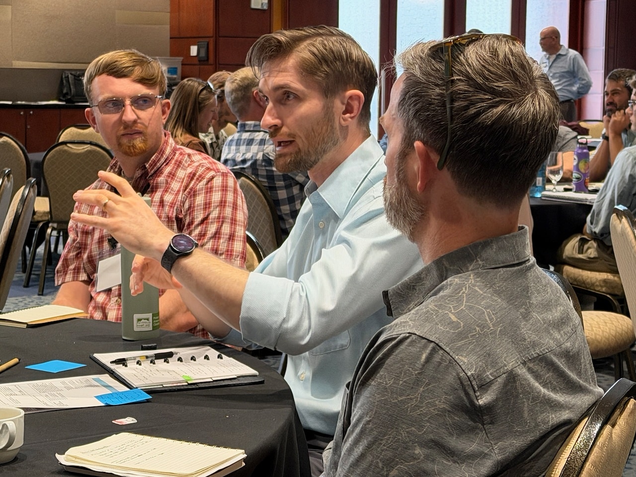
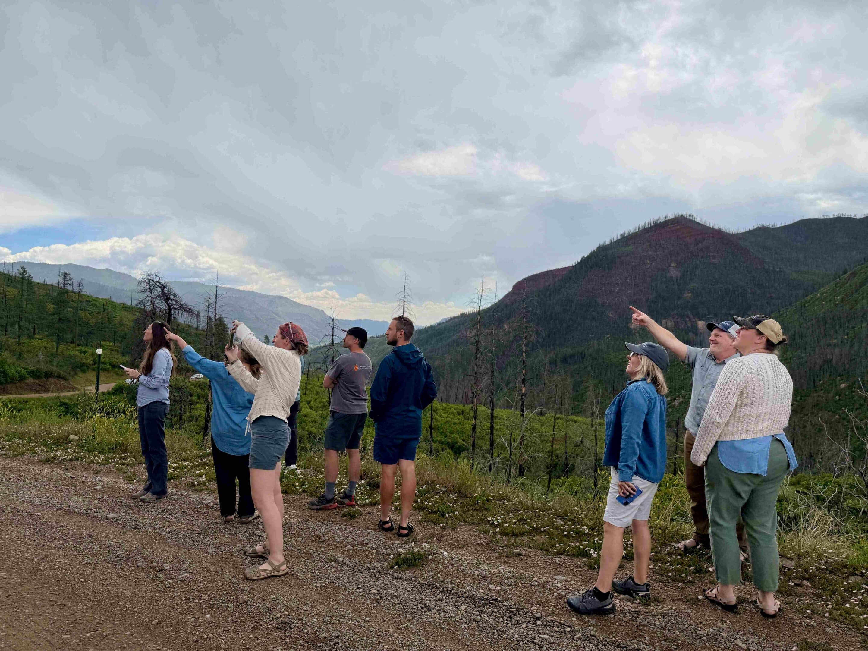
Join our hands-on workshops and webinars to test the tool, explore emerging research findings, and discuss challenges with the ReSHAPE team.
ReSHAPE News & Updates
Explore our latest fact sheets, story maps, and media features translating complex research into digestible formats.
Research
08.06.2026
Podcast: Fire Ecology Chats “Wildfire Decision Support Tools with Claire Rapp and Melanie Colavito”
Data
07.21.2026
News Article: HPCC Fire map honored with international GIS award
Research
09.25.2025
News Article: “Fuel Treatment Data Without Barriers: The Story of TWIG”
Put Data Into Action
Start exploring our accessible, nationwide geodatabase for fuel treatments and wildfires today.